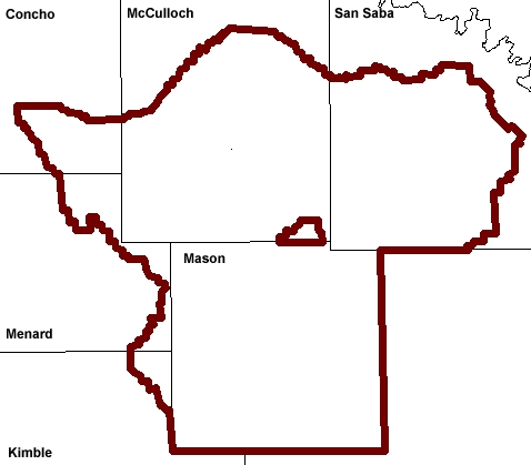
New! All-in-One Interactive Map
We are working on a new interactive map to meet all your needs. Please, take a few minutes and visit the site below.
This is an interactive Map App with various layers including all the wells with links to logs, faults, depth to top of Hickory, etc.
If you're using the Surface Geology layer, you can use this jpg as a more in-depth legend. The heights of the rows are not scaled to thicknesses. Geologic Units and Groundwater Potential
Check it out and give us feedback please.


